Marine Spatial Planning on the Caribbean Island of Montserrat: Lessons for data-limited Small Islands - CLME+ HUB

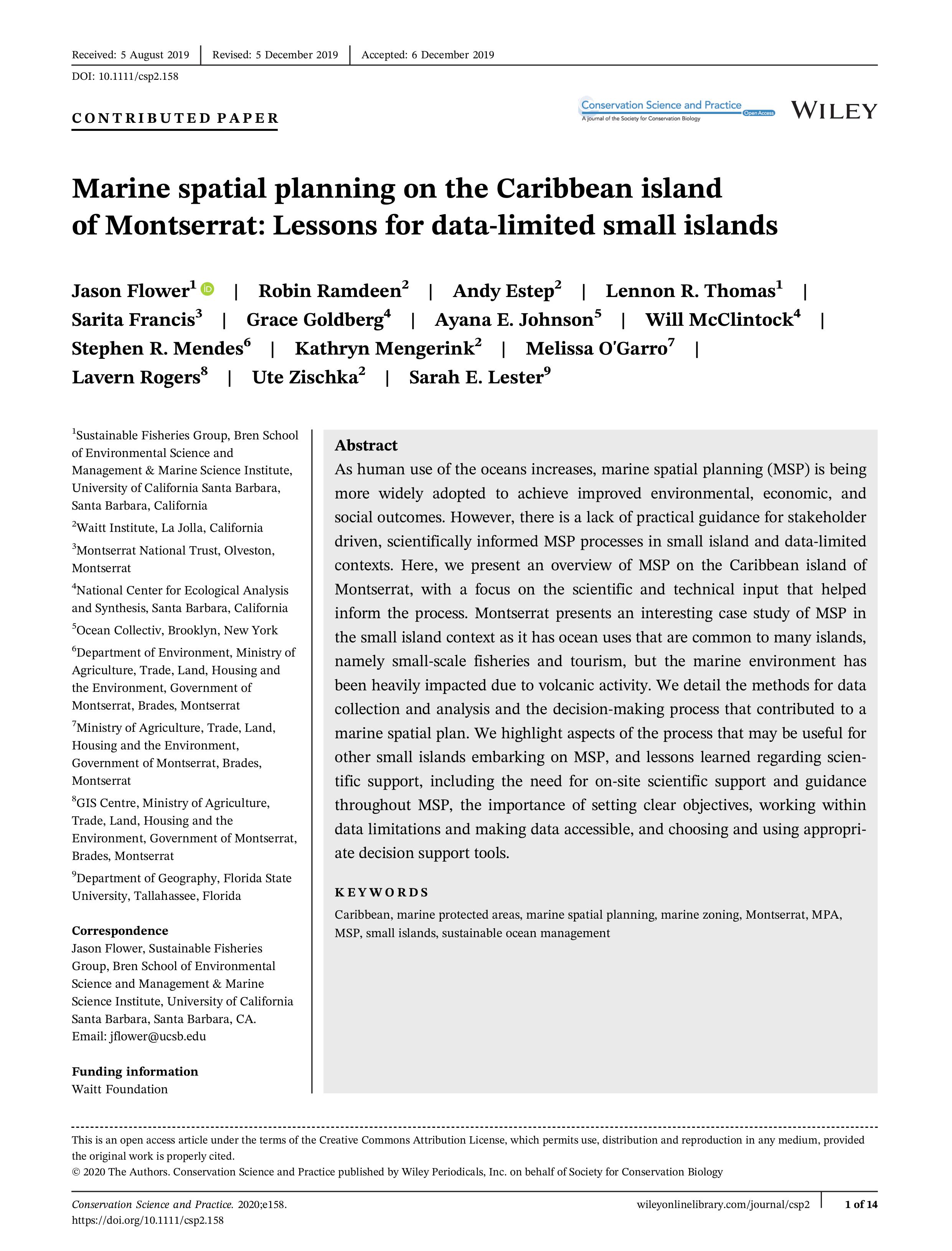
Marine Spatial Planning on the Caribbean Island of Montserrat: Lessons for data-limited Small Islands

This Document Present and overview of the implementation of the Marine Spatial Planning on the Caribbean island of Monserrat Montserrat that presents an interesting case study of MSP in the small island context as it has ocean uses that are common to many islands, namely small-scale fisheries and tourism, but the marine environment has been heavily impacted due to volcanic activity. We detail the methods for data collection and analysis and the decision-making process that contributed to amarine spatial plan.    

Year: 2019
Author: Flower, J., Ramdeen, R., Estep, A., Thomas, L., Francis, S., Goldberg, G.,
Keywords: Marine Spatial Planning, Montserrat
Share:
       8         1                 Report issue

Cookies policy

We use cookies to enhance your site experience, to provide you with extra functionalities and for analytical purposes. You can consent to the use of such technology by accepting and closing this notice. If you want to find out more, please read our cookies policy here.

Welcome to SOMEE

SOMEE content is still under development and is therefore not yet available online. However, you can already check for sample text and materials under the sections in blue text