
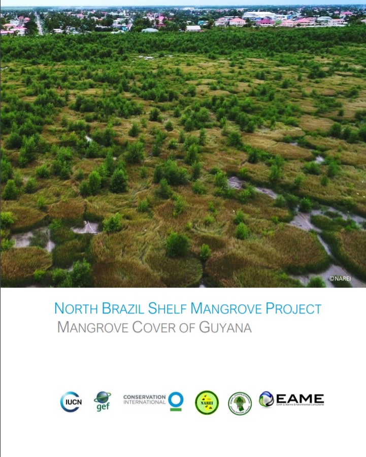
NBS Mangrove Project Cover Analysis of Guyana
This report is the Implementation Report providing supporting discussion for the data acquisition and processing utilized in order to produce the Mangrove Cover Extent Map. The objectives of the work were as follows: ▪ Production of an up-to-date Mangrove Cover and Extent map utilising the most recently available spatial data along Guyana’s Coastline; ▪ Preparation and delivery of a mangrove monitoring operating procedure to monitor the change in mangrove forest cover extent; and ▪ Creation of relevant knowledge transfer training documents and resources to be used within training exercises/ workshops.
Year: 2019
Author: Conservation International
Keywords: mangroves
 5
5


 Report issue